High Legh Village Hall
Introduction
The photograph on this page of High Legh Village Hall by David Dixon as part of the Geograph project.
The Geograph project started in 2005 with the aim of publishing, organising and preserving representative images for every square kilometre of Great Britain, Ireland and the Isle of Man.

There are currently over 7.5m images from over 14,400 individuals and you can help contribute to the project by visiting https://www.geograph.org.uk
High Legh Village Hall
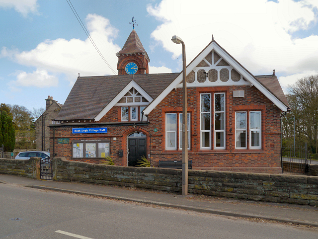
Image: © David Dixon Taken: 16 Apr 2013
This former school on the triangle of land at the junction of West Lane with the A50, is now the village hall.
Images are licensed for reuse under creativecommons.org/licenses/by-sa/2.0
Image Location
Latitude
53.349952
Longitude
-2.454381