Demolition of the wired society - NEC Acton
Introduction
The photograph on this page of Demolition of the wired society - NEC Acton by David Hawgood as part of the Geograph project.
The Geograph project started in 2005 with the aim of publishing, organising and preserving representative images for every square kilometre of Great Britain, Ireland and the Isle of Man.

There are currently over 7.5m images from over 14,400 individuals and you can help contribute to the project by visiting https://www.geograph.org.uk
Demolition of the wired society - NEC Acton
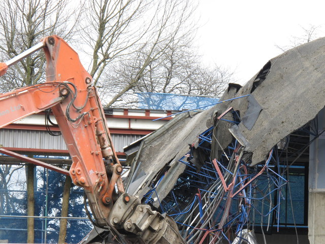
Image: © David Hawgood Taken: 18 Apr 2013
The NEC offices in Acton are being demolished, to be replaced by student housing and apartments and a small public garden. It was a building of reinforced concrete, so it had to be torn apart by hammering and pulling with huge claws. The building had a variety of power cables, data cables and reinforcing rods so the demolition exposed a mass of wires.
Images are licensed for reuse under creativecommons.org/licenses/by-sa/2.0
Image Location
Latitude
51.523224
Longitude
-0.262058