The Clyde Tidal Weir
Introduction
The photograph on this page of The Clyde Tidal Weir by Chris Wimbush as part of the Geograph project.
The Geograph project started in 2005 with the aim of publishing, organising and preserving representative images for every square kilometre of Great Britain, Ireland and the Isle of Man.

There are currently over 7.5m images from over 14,400 individuals and you can help contribute to the project by visiting https://www.geograph.org.uk
The Clyde Tidal Weir
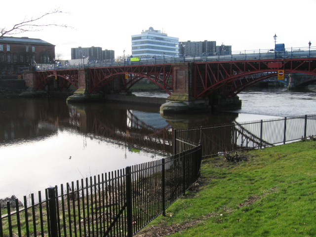
Image: © Chris Wimbush Taken: 18 Feb 2007
Consists of three adjustable gates 80 feet long and 12 feet high. Its purpose is to retain a fixed water level upstream in order to stabilise the banking. Downstream is tidal. Completed in 1901 it is a Category B listed structure.
Images are licensed for reuse under creativecommons.org/licenses/by-sa/2.0
Image Location
Latitude
55.851369
Longitude
-4.245877