Cyclepath beside Rocks Lane
Introduction
The photograph on this page of Cyclepath beside Rocks Lane by David Anstiss as part of the Geograph project.
The Geograph project started in 2005 with the aim of publishing, organising and preserving representative images for every square kilometre of Great Britain, Ireland and the Isle of Man.

There are currently over 7.5m images from over 14,400 individuals and you can help contribute to the project by visiting https://www.geograph.org.uk
Cyclepath beside Rocks Lane
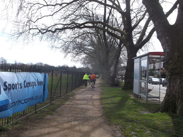
Image: © David Anstiss Taken: 14 Apr 2013
Rocks Lane leads from Barnes towards Upper Richmond Road. This path leads beside Barnes Elms Playing Fields (on the left). It is part of National Cycle Network 4 leading towards Richmond Park. It also follows the Thames Valley Cycle Route to Reading.
Images are licensed for reuse under creativecommons.org/licenses/by-sa/2.0
Image Location
Latitude
51.474678
Longitude
-0.238848