Route of the old North Pembrokeshire and Fishguard Railway
Introduction
The photograph on this page of Route of the old North Pembrokeshire and Fishguard Railway by Philip Halling as part of the Geograph project.
The Geograph project started in 2005 with the aim of publishing, organising and preserving representative images for every square kilometre of Great Britain, Ireland and the Isle of Man.

There are currently over 7.5m images from over 14,400 individuals and you can help contribute to the project by visiting https://www.geograph.org.uk
Route of the old North Pembrokeshire and Fishguard Railway
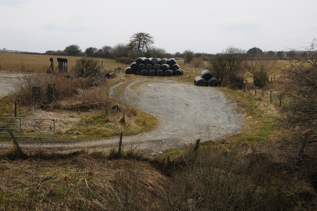
Image: © Philip Halling Taken: 7 Apr 2013
The old North Pembrokeshire and Fishguard Railway dates from 1876 and closed to passengers in 1937 and freight in 1949. Here the old trackbed is being used by a farm to the south of Maenclochog to stack silage bales.
Images are licensed for reuse under creativecommons.org/licenses/by-sa/2.0
Image Location
Latitude
51.907529
Longitude
-4.789706