Centre for World Peace and Health
Introduction
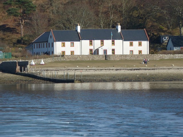
The photograph on this page of Centre for World Peace and Health by Rob Farrow as part of the Geograph project.
The Geograph project started in 2005 with the aim of publishing, organising and preserving representative images for every square kilometre of Great Britain, Ireland and the Isle of Man.
There are currently over 7.5m images from over 14,400 individuals and you can help contribute to the project by visiting https://www.geograph.org.uk

Image: © Rob Farrow Taken: 5 Apr 2013
This is a view from the little ferry which plies between Lamlash and Holy Island of the Centre for World Peace and Health http://holyisle.org/index/the-centre on that island. Run by the Samye Ling Buddhists, visitors can stay at the centre by pre-arrangement and attend courses there. During the recent inclement weather (of late March 2013) Holy Island was without electricity for eight days, though I would guess that the residents here were better equipped to deal with such deprivations than most.

