Black Sike Lane, near Hogley Green
Introduction
The photograph on this page of Black Sike Lane, near Hogley Green by Samantha Waddington as part of the Geograph project.
The Geograph project started in 2005 with the aim of publishing, organising and preserving representative images for every square kilometre of Great Britain, Ireland and the Isle of Man.

There are currently over 7.5m images from over 14,400 individuals and you can help contribute to the project by visiting https://www.geograph.org.uk
Black Sike Lane, near Hogley Green
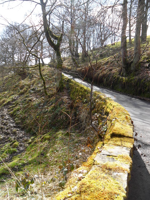
Image: © Samantha Waddington Taken: 13 Apr 2013
Heading up lane from Harts Hole Clough towards the hamlet of Hogley Green.
Images are licensed for reuse under creativecommons.org/licenses/by-sa/2.0
Image Location
Latitude
53.568467
Longitude
-1.815899