The Wey Navigation in rain: view downstream from the Tanyard Bridge
Introduction
The photograph on this page of The Wey Navigation in rain: view downstream from the Tanyard Bridge by Stefan Czapski as part of the Geograph project.
The Geograph project started in 2005 with the aim of publishing, organising and preserving representative images for every square kilometre of Great Britain, Ireland and the Isle of Man.

There are currently over 7.5m images from over 14,400 individuals and you can help contribute to the project by visiting https://www.geograph.org.uk
The Wey Navigation in rain: view downstream from the Tanyard Bridge
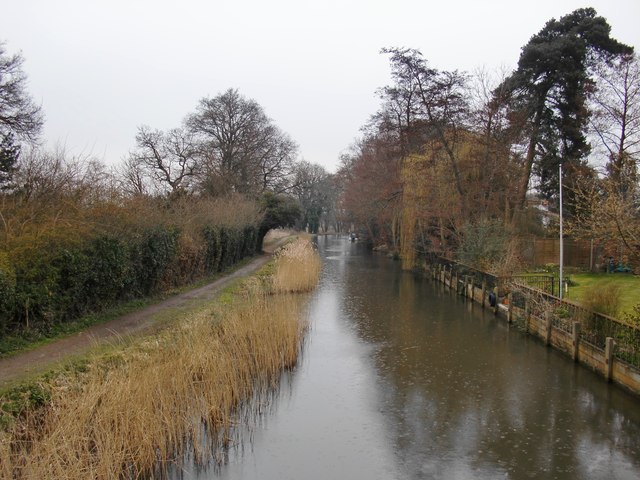
Image: © Stefan Czapski Taken: 10 Apr 2013
A few houses back on to the canal at this point. Behind the camera is the former tannery site, now Send Business Park.
Images are licensed for reuse under creativecommons.org/licenses/by-sa/2.0
Image Location
Latitude
51.297242
Longitude
-0.524205