Springfields
Introduction
The photograph on this page of Springfields by Nigel Mykura as part of the Geograph project.
The Geograph project started in 2005 with the aim of publishing, organising and preserving representative images for every square kilometre of Great Britain, Ireland and the Isle of Man.

There are currently over 7.5m images from over 14,400 individuals and you can help contribute to the project by visiting https://www.geograph.org.uk
Springfields
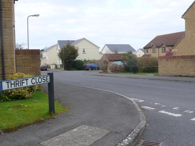
Image: © Nigel Mykura Taken: 29 Mar 2013
Spring fields is a short residential road on a modern housing estate on the south east edge of Stalbridge. it has several small cul-de-sacs off it such as this one Thrift Close.
Images are licensed for reuse under creativecommons.org/licenses/by-sa/2.0
Image Location
Latitude
50.956071
Longitude
-2.37012