Approaching Laurencetown
Introduction
The photograph on this page of Approaching Laurencetown by Albert Bridge as part of the Geograph project.
The Geograph project started in 2005 with the aim of publishing, organising and preserving representative images for every square kilometre of Great Britain, Ireland and the Isle of Man.

There are currently over 7.5m images from over 14,400 individuals and you can help contribute to the project by visiting https://www.geograph.org.uk
Approaching Laurencetown
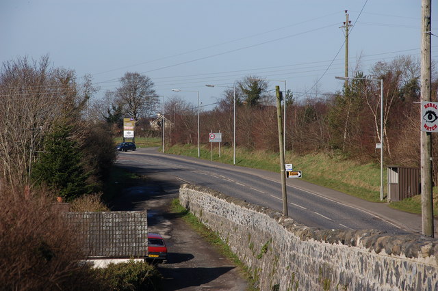
Image: © Albert Bridge Taken: 18 Feb 2007
This is the Banbridge-Portadown road approaching Laurencetown. The course of the (very) old road can be seen in the lower middle of the photo. The River Bann lies in a valley behind the bushes on the left.
Images are licensed for reuse under creativecommons.org/licenses/by-sa/2.0
Image Location
Latitude
54.382155
Longitude
-6.300038