Dingestow: site/remains of former station, 1990
Introduction
The photograph on this page of Dingestow: site/remains of former station, 1990 by Ben Brooksbank as part of the Geograph project.
The Geograph project started in 2005 with the aim of publishing, organising and preserving representative images for every square kilometre of Great Britain, Ireland and the Isle of Man.

There are currently over 7.5m images from over 14,400 individuals and you can help contribute to the project by visiting https://www.geograph.org.uk
Dingestow: site/remains of former station, 1990
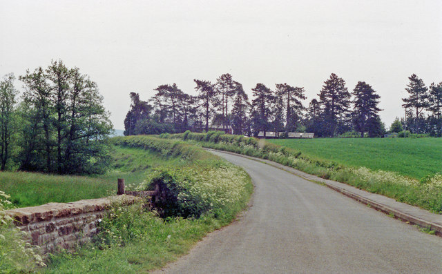
Image: © Ben Brooksbank Taken: 21 May 1990
View southward, with probable station house in the trees: ex-GWR Monmouth Troy (to left) - Pontypool Road (to right) line, closed completely 13/6/55.
Images are licensed for reuse under creativecommons.org/licenses/by-sa/2.0
Image Location
Latitude
51.785225
Longitude
-2.784962