Western boundary of Swindon
Introduction
The photograph on this page of Western boundary of Swindon by Jaggery as part of the Geograph project.
The Geograph project started in 2005 with the aim of publishing, organising and preserving representative images for every square kilometre of Great Britain, Ireland and the Isle of Man.

There are currently over 7.5m images from over 14,400 individuals and you can help contribute to the project by visiting https://www.geograph.org.uk
Western boundary of Swindon
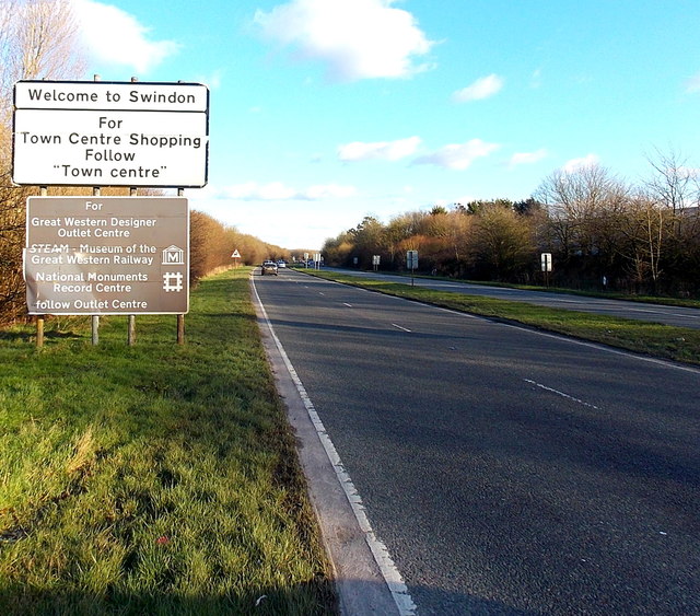
Image: © Jaggery Taken: 2 Feb 2013
The A3102 Great Western Way reaches the western edge of Swindon, Wiltshire, one of the largest towns in the UK. The population of the Borough of Swindon was 209,000 on the day of the 2011 census, an increase of 29,000 in ten years.
Images are licensed for reuse under creativecommons.org/licenses/by-sa/2.0
Image Location
Latitude
51.547226
Longitude
-1.84132