Top of St John's Road above Matlock Dale
Introduction
The photograph on this page of Top of St John's Road above Matlock Dale by Richard Vince as part of the Geograph project.
The Geograph project started in 2005 with the aim of publishing, organising and preserving representative images for every square kilometre of Great Britain, Ireland and the Isle of Man.

There are currently over 7.5m images from over 14,400 individuals and you can help contribute to the project by visiting https://www.geograph.org.uk
Top of St John's Road above Matlock Dale
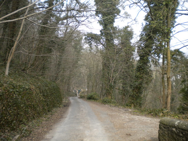
Image: © Richard Vince Taken: 10 Apr 2013
Looking down St John's Road from the gates of Cliffe House. From here, the road descends, initially through the woods but past houses further down, to meet the A6 in Matlock Dale.
Images are licensed for reuse under creativecommons.org/licenses/by-sa/2.0
Image Location
Latitude
53.129968
Longitude
-1.56221