St Pauls Methodist Church, Wetwang
Introduction
The photograph on this page of St Pauls Methodist Church, Wetwang by Ian S as part of the Geograph project.
The Geograph project started in 2005 with the aim of publishing, organising and preserving representative images for every square kilometre of Great Britain, Ireland and the Isle of Man.

There are currently over 7.5m images from over 14,400 individuals and you can help contribute to the project by visiting https://www.geograph.org.uk
St Pauls Methodist Church, Wetwang
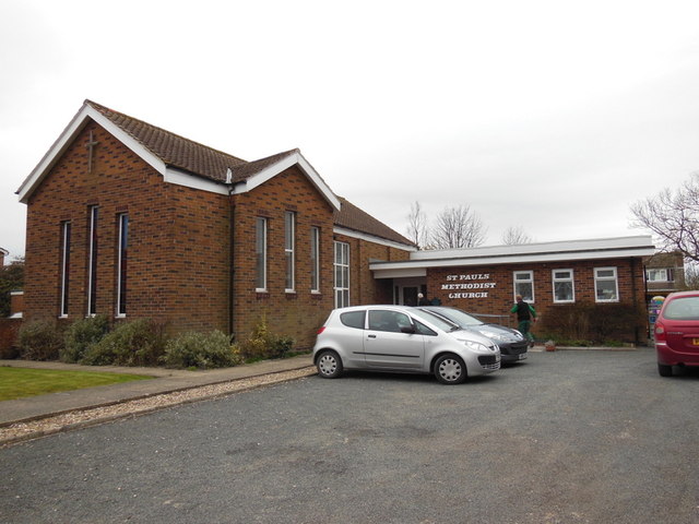
Image: © Ian S Taken: 13 Apr 2013
At 42 miles the walkers have only another 8 miles to walk from checkpoint 7 on the Woldsman 50.
Images are licensed for reuse under creativecommons.org/licenses/by-sa/2.0
Image Location
Latitude
54.019434
Longitude
-0.581137