Health Centre, Milton
Introduction
The photograph on this page of Health Centre, Milton by Steven Birks as part of the Geograph project.
The Geograph project started in 2005 with the aim of publishing, organising and preserving representative images for every square kilometre of Great Britain, Ireland and the Isle of Man.

There are currently over 7.5m images from over 14,400 individuals and you can help contribute to the project by visiting https://www.geograph.org.uk
Health Centre, Milton
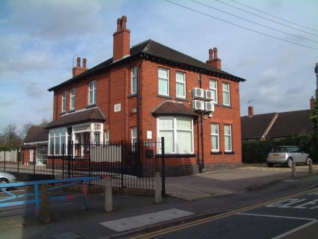
Image: © Steven Birks Taken: 15 Feb 2007
Once a private house - not a local health and medical centre. On the wall is a plaque which bears the initials: W.R.W. and the date 1904 The building sits opposite the Baptist Church:- http://www.geograph.org.uk/photo/339283 and on the diagonal corner opposite an Indian Restaurant:- http://www.geograph.org.uk/photo/339274
Images are licensed for reuse under creativecommons.org/licenses/by-sa/2.0
Image Location
Latitude
53.049876
Longitude
-2.141676