Bryn Teg
Introduction
The photograph on this page of Bryn Teg by Eric Jones as part of the Geograph project.
The Geograph project started in 2005 with the aim of publishing, organising and preserving representative images for every square kilometre of Great Britain, Ireland and the Isle of Man.

There are currently over 7.5m images from over 14,400 individuals and you can help contribute to the project by visiting https://www.geograph.org.uk
Bryn Teg
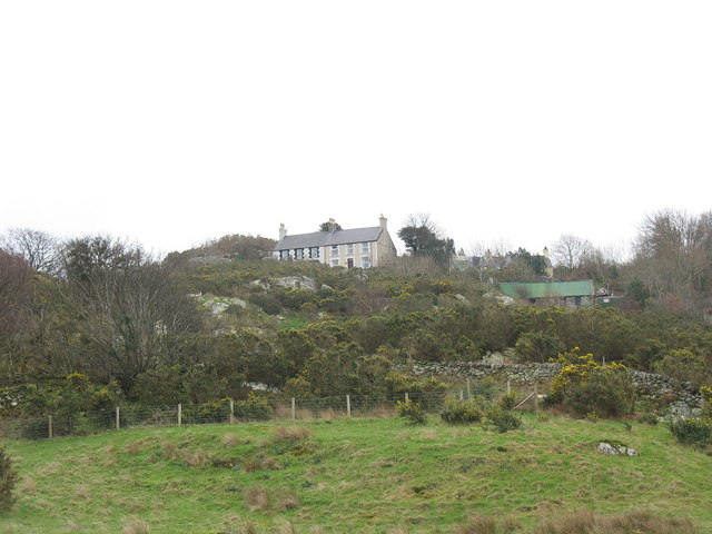
Image: © Eric Jones Taken: 17 Feb 2007
Bryn Teg (fair hill) consists of two terraces of houses set at some distance from the main road.
Images are licensed for reuse under creativecommons.org/licenses/by-sa/2.0
Image Location
Latitude
53.144722
Longitude
-4.139206