Riverside Way: road closed
Introduction
The photograph on this page of Riverside Way: road closed by John Sutton as part of the Geograph project.
The Geograph project started in 2005 with the aim of publishing, organising and preserving representative images for every square kilometre of Great Britain, Ireland and the Isle of Man.

There are currently over 7.5m images from over 14,400 individuals and you can help contribute to the project by visiting https://www.geograph.org.uk
Riverside Way: road closed
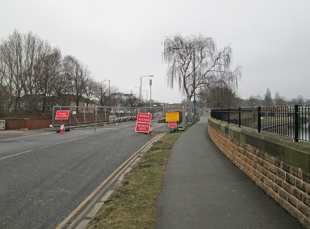
Image: © John Sutton Taken: 12 Apr 2013
The junction between Riverside Way and Robin Hood Way is being realigned as part of the tramway extension works.
Images are licensed for reuse under creativecommons.org/licenses/by-sa/2.0
Image Location
Latitude
52.938108
Longitude
-1.156155