Methodist Chapel at Chapel Lane/High Street junction
Introduction
The photograph on this page of Methodist Chapel at Chapel Lane/High Street junction by Roger Templeman as part of the Geograph project.
The Geograph project started in 2005 with the aim of publishing, organising and preserving representative images for every square kilometre of Great Britain, Ireland and the Isle of Man.

There are currently over 7.5m images from over 14,400 individuals and you can help contribute to the project by visiting https://www.geograph.org.uk
Methodist Chapel at Chapel Lane/High Street junction
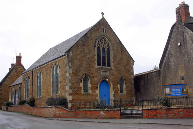
Image: © Roger Templeman Taken: 12 Apr 2013
The datestone above the blue door is inscribed 'Wensleyan Chapel 1893'. There is an OS benchmark Image on the front face of the chapel at its junction with the wall on its right hand side.
Images are licensed for reuse under creativecommons.org/licenses/by-sa/2.0
Image Location
Latitude
52.016643
Longitude
-1.313341