Looking north up Clarty Lane
Introduction
The photograph on this page of Looking north up Clarty Lane by Robert Graham as part of the Geograph project.
The Geograph project started in 2005 with the aim of publishing, organising and preserving representative images for every square kilometre of Great Britain, Ireland and the Isle of Man.

There are currently over 7.5m images from over 14,400 individuals and you can help contribute to the project by visiting https://www.geograph.org.uk
Looking north up Clarty Lane
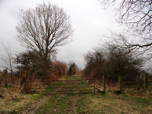
Image: © Robert Graham Taken: 10 Apr 2013
This path leading south from Kibblesworth village, takes its name from an old North East word meaning muddy.
Images are licensed for reuse under creativecommons.org/licenses/by-sa/2.0
Image Location
Latitude
54.897757
Longitude
-1.61374