A467 between Risca and Pontymister
Introduction
The photograph on this page of A467 between Risca and Pontymister by Jaggery as part of the Geograph project.
The Geograph project started in 2005 with the aim of publishing, organising and preserving representative images for every square kilometre of Great Britain, Ireland and the Isle of Man.

There are currently over 7.5m images from over 14,400 individuals and you can help contribute to the project by visiting https://www.geograph.org.uk
A467 between Risca and Pontymister
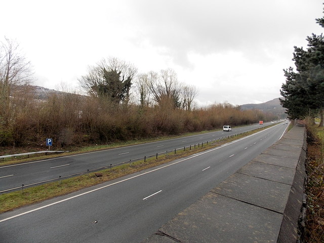
Image: © Jaggery Taken: 11 Apr 2013
Viewed from Danygraig Cemetery.The A467 heads SE towards Pontymister. The vegetation on the left lines the bank of the River Ebbw.
Images are licensed for reuse under creativecommons.org/licenses/by-sa/2.0
Image Location
Latitude
51.60572
Longitude
-3.102719