River Ebbw downstream from Ebbw Street Risca
Introduction
The photograph on this page of River Ebbw downstream from Ebbw Street Risca by Jaggery as part of the Geograph project.
The Geograph project started in 2005 with the aim of publishing, organising and preserving representative images for every square kilometre of Great Britain, Ireland and the Isle of Man.

There are currently over 7.5m images from over 14,400 individuals and you can help contribute to the project by visiting https://www.geograph.org.uk
River Ebbw downstream from Ebbw Street Risca
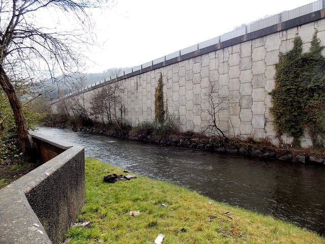
Image: © Jaggery Taken: 11 Apr 2013
Viewed from the northern edge of Ebbw Street and the SW edge of a recreation ground. The Ebbw here flows between Ebbw Street on the left and the high wall which is part of the structure carrying an elevated section of the A467.
Images are licensed for reuse under creativecommons.org/licenses/by-sa/2.0
Image Location
Latitude
51.609479
Longitude
-3.104543