Bowes Railway Path
Introduction
The photograph on this page of Bowes Railway Path by Robert Graham as part of the Geograph project.
The Geograph project started in 2005 with the aim of publishing, organising and preserving representative images for every square kilometre of Great Britain, Ireland and the Isle of Man.

There are currently over 7.5m images from over 14,400 individuals and you can help contribute to the project by visiting https://www.geograph.org.uk
Bowes Railway Path
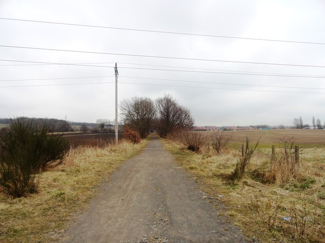
Image: © Robert Graham Taken: 10 Apr 2013
Looking east along the path just south of Lamesley. This path along the old railway runs from Marley Hill near Sunniside to Springwell and the Railway Museum there. It was an colliery line formerly.
Images are licensed for reuse under creativecommons.org/licenses/by-sa/2.0
Image Location
Latitude
54.906488
Longitude
-1.590886