St. Mary's Church of England (VA) Primary School, Stoney Lane, Kidderminster
Introduction
The photograph on this page of St. Mary's Church of England (VA) Primary School, Stoney Lane, Kidderminster by P L Chadwick as part of the Geograph project.
The Geograph project started in 2005 with the aim of publishing, organising and preserving representative images for every square kilometre of Great Britain, Ireland and the Isle of Man.

There are currently over 7.5m images from over 14,400 individuals and you can help contribute to the project by visiting https://www.geograph.org.uk
St. Mary's Church of England (VA) Primary School, Stoney Lane, Kidderminster
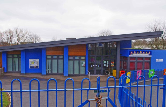
Image: © P L Chadwick Taken: 10 Mar 2013
St. Mary's is a fairly recent voluntary aided Church of England primary school. It is in an area where there has been a lot of new housing development, much of it replacing what were previously industrial sites. Image
Images are licensed for reuse under creativecommons.org/licenses/by-sa/2.0
Image Location
Latitude
52.39607
Longitude
-2.246704