The Royal Inn, Royal Wootton Bassett
Introduction
The photograph on this page of The Royal Inn, Royal Wootton Bassett by Jaggery as part of the Geograph project.
The Geograph project started in 2005 with the aim of publishing, organising and preserving representative images for every square kilometre of Great Britain, Ireland and the Isle of Man.

There are currently over 7.5m images from over 14,400 individuals and you can help contribute to the project by visiting https://www.geograph.org.uk
The Royal Inn, Royal Wootton Bassett
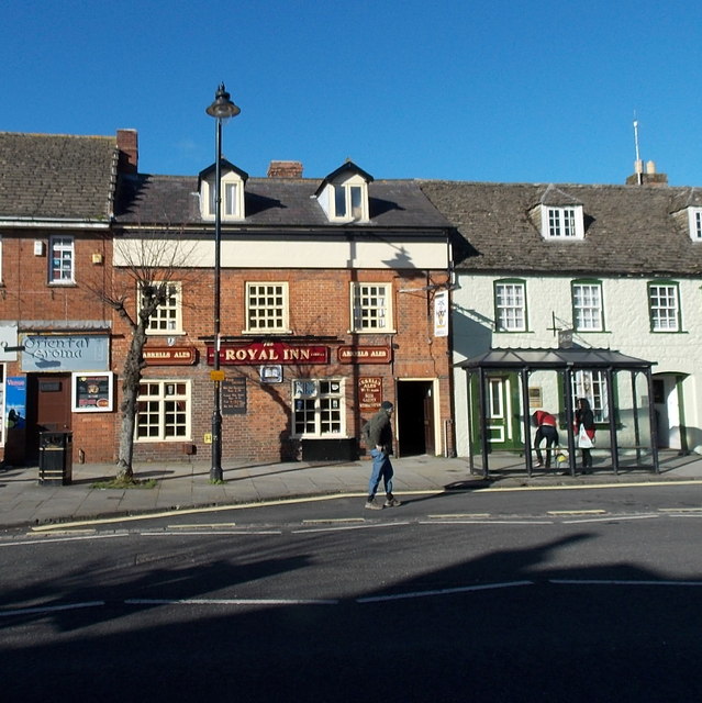
Image: © Jaggery Taken: 2 Feb 2013
An Arkells Ales pub in High Street. Previously named The Borough Arms, http://www.geograph.org.uk/photo/1567778 renamed The Royal Inn in 2011 in recognition of the new Royal status of Wootton Bassett.
Images are licensed for reuse under creativecommons.org/licenses/by-sa/2.0
Image Location
Latitude
51.542977
Longitude
-1.903051