Capel Soar, Penygroes
Introduction
The photograph on this page of Capel Soar, Penygroes by Eirian Evans as part of the Geograph project.
The Geograph project started in 2005 with the aim of publishing, organising and preserving representative images for every square kilometre of Great Britain, Ireland and the Isle of Man.

There are currently over 7.5m images from over 14,400 individuals and you can help contribute to the project by visiting https://www.geograph.org.uk
Capel Soar, Penygroes
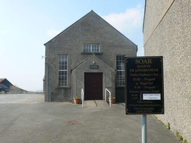
Image: © Eirian Evans Taken: 9 Apr 2013
Soar is a Welsh Congregational (Annibynwyr) chapel. This building was originally the vestry which stood alongside the main chapel, but the chapel was demolished in the late 1980s.
Images are licensed for reuse under creativecommons.org/licenses/by-sa/2.0
Image Location
Latitude
53.05464
Longitude
-4.283962