Bere Regis, disused pit
Introduction
The photograph on this page of Bere Regis, disused pit by Mike Faherty as part of the Geograph project.
The Geograph project started in 2005 with the aim of publishing, organising and preserving representative images for every square kilometre of Great Britain, Ireland and the Isle of Man.

There are currently over 7.5m images from over 14,400 individuals and you can help contribute to the project by visiting https://www.geograph.org.uk
Bere Regis, disused pit
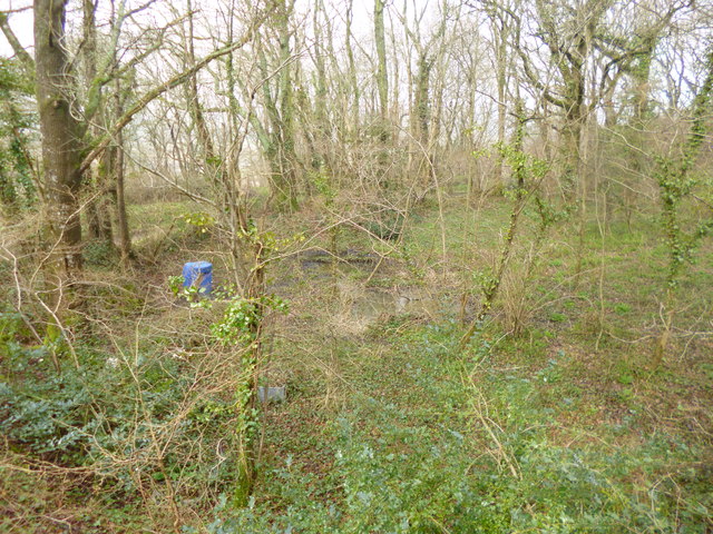
Image: © Mike Faherty Taken: 10 Apr 2013
Presumably once the source of clay for Image Note the pheasant feeders, left.
Images are licensed for reuse under creativecommons.org/licenses/by-sa/2.0
Image Location
Latitude
50.740652
Longitude
-2.2087