Junction of Brinkfield Road and High Street
Introduction
The photograph on this page of Junction of Brinkfield Road and High Street by Graham Horn as part of the Geograph project.
The Geograph project started in 2005 with the aim of publishing, organising and preserving representative images for every square kilometre of Great Britain, Ireland and the Isle of Man.

There are currently over 7.5m images from over 14,400 individuals and you can help contribute to the project by visiting https://www.geograph.org.uk
Junction of Brinkfield Road and High Street
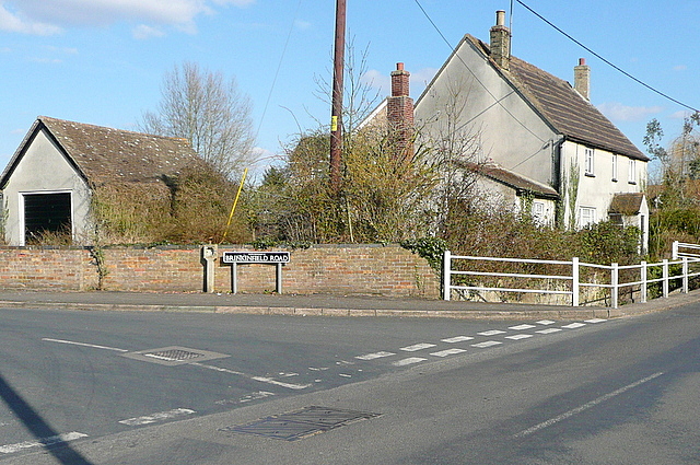
Image: © Graham Horn Taken: 6 Apr 2013
Chalgrove is a linear village, with a mix of old houses and newer infill. Here is one of the newer parts. Shakespeare's Way goes along the High Street.
Images are licensed for reuse under creativecommons.org/licenses/by-sa/2.0
Image Location
Latitude
51.669374
Longitude
-1.084348