Rayners Lane west side
Introduction
The photograph on this page of Rayners Lane west side by Carl Grove as part of the Geograph project.
The Geograph project started in 2005 with the aim of publishing, organising and preserving representative images for every square kilometre of Great Britain, Ireland and the Isle of Man.

There are currently over 7.5m images from over 14,400 individuals and you can help contribute to the project by visiting https://www.geograph.org.uk
Rayners Lane west side
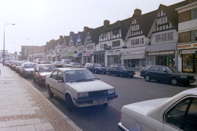
Image: © Carl Grove Taken: 22 Oct 1990
The south end of Rayners Lane showing the tube station at the top of the road.
Images are licensed for reuse under creativecommons.org/licenses/by-sa/2.0
Image Location


Leaflet Map data © OpenStreetMap
Latitude
51.575146
Longitude
-0.3712