Humberside Airport
Introduction
The photograph on this page of Humberside Airport by Chris as part of the Geograph project.
The Geograph project started in 2005 with the aim of publishing, organising and preserving representative images for every square kilometre of Great Britain, Ireland and the Isle of Man.

There are currently over 7.5m images from over 14,400 individuals and you can help contribute to the project by visiting https://www.geograph.org.uk
Humberside Airport
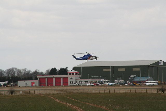
Image: © Chris Taken: 4 Apr 2013
Bristow's S76 helicopter G-CGOP taking off from Runway 02, with the CHC hangar and the fire station behind.
Images are licensed for reuse under creativecommons.org/licenses/by-sa/2.0
Image Location
Latitude
53.580641
Longitude
-0.352676