Path from Forge Close, Caerleon
Introduction
The photograph on this page of Path from Forge Close, Caerleon by Jaggery as part of the Geograph project.
The Geograph project started in 2005 with the aim of publishing, organising and preserving representative images for every square kilometre of Great Britain, Ireland and the Isle of Man.

There are currently over 7.5m images from over 14,400 individuals and you can help contribute to the project by visiting https://www.geograph.org.uk
Path from Forge Close, Caerleon
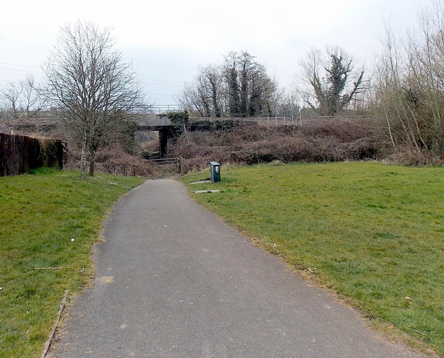
Image: © Jaggery Taken: 8 Apr 2013
The path east from Forge Close passes under this http://www.geograph.org.uk/photo/3404772 railway bridge 40 metres ahead.
Images are licensed for reuse under creativecommons.org/licenses/by-sa/2.0
Image Location
Latitude
51.618598
Longitude
-2.957