Field boundary & field near White House Farm
Introduction
The photograph on this page of Field boundary & field near White House Farm by Richard Law as part of the Geograph project.
The Geograph project started in 2005 with the aim of publishing, organising and preserving representative images for every square kilometre of Great Britain, Ireland and the Isle of Man.

There are currently over 7.5m images from over 14,400 individuals and you can help contribute to the project by visiting https://www.geograph.org.uk
Field boundary & field near White House Farm
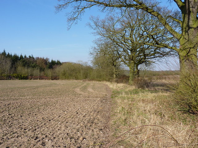
Image: © Richard Law Taken: 6 Apr 2013
It's hard to describe it as a 'hedge' as the hawthorns seem to have mostly died off, leaving just a line of specimen oaks.
Images are licensed for reuse under creativecommons.org/licenses/by-sa/2.0
Image Location
Latitude
52.644435
Longitude
-2.213961