Lawley Roundabout
Introduction
The photograph on this page of Lawley Roundabout by John M as part of the Geograph project.
The Geograph project started in 2005 with the aim of publishing, organising and preserving representative images for every square kilometre of Great Britain, Ireland and the Isle of Man.

There are currently over 7.5m images from over 14,400 individuals and you can help contribute to the project by visiting https://www.geograph.org.uk
Lawley Roundabout
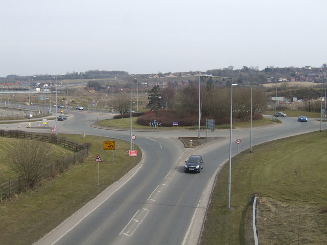
Image: © John M Taken: 7 Apr 2013
At the heart of the new Lawley Village. The new district of Telford will eventually have 3300 homes of which 485 will be social housing, recently reduced from 825.
Images are licensed for reuse under creativecommons.org/licenses/by-sa/2.0
Image Location
Latitude
52.671595
Longitude
-2.484723