Path to Wanstead Flats
Introduction
The photograph on this page of Path to Wanstead Flats by David Anstiss as part of the Geograph project.
The Geograph project started in 2005 with the aim of publishing, organising and preserving representative images for every square kilometre of Great Britain, Ireland and the Isle of Man.

There are currently over 7.5m images from over 14,400 individuals and you can help contribute to the project by visiting https://www.geograph.org.uk
Path to Wanstead Flats
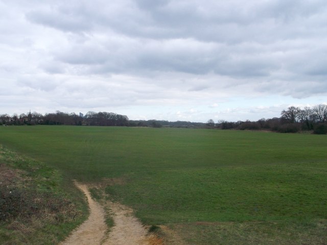
Image: © David Anstiss Taken: 31 Mar 2013
A path leads from Centre Road towards a large recreational ground beside Aldersbrook Road. The flats are part of Epping Forest. In the background on the left, the top of Image, can just be seen.
Images are licensed for reuse under creativecommons.org/licenses/by-sa/2.0
Image Location
Latitude
51.562377
Longitude
0.027121