Lucas Farm
Introduction
The photograph on this page of Lucas Farm by Trevor Harris as part of the Geograph project.
The Geograph project started in 2005 with the aim of publishing, organising and preserving representative images for every square kilometre of Great Britain, Ireland and the Isle of Man.

There are currently over 7.5m images from over 14,400 individuals and you can help contribute to the project by visiting https://www.geograph.org.uk
Lucas Farm
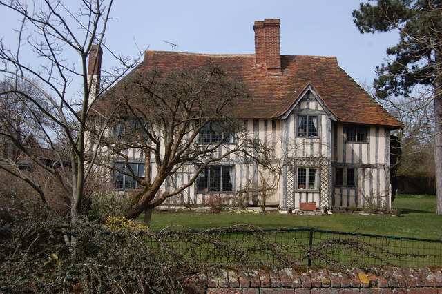
Image: © Trevor Harris Taken: 7 Apr 2013
A beautiful 16th century farmhouse beside an ancient moat.
Images are licensed for reuse under creativecommons.org/licenses/by-sa/2.0
Image Location
Latitude
51.800443
Longitude
0.285078