Bracadale: view over Totardor
Introduction
The photograph on this page of Bracadale: view over Totardor by Chris Downer as part of the Geograph project.
The Geograph project started in 2005 with the aim of publishing, organising and preserving representative images for every square kilometre of Great Britain, Ireland and the Isle of Man.

There are currently over 7.5m images from over 14,400 individuals and you can help contribute to the project by visiting https://www.geograph.org.uk
Bracadale: view over Totardor
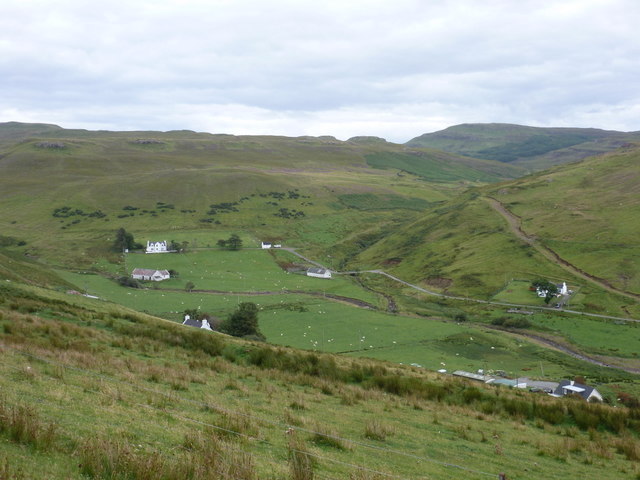
Image: © Chris Downer Taken: 19 Aug 2012
A view into the steep-sided valley from the B885.
Images are licensed for reuse under creativecommons.org/licenses/by-sa/2.0
Image Location
Latitude
57.369789
Longitude
-6.377297