Shooter's Hill, Woolwich, London, SE18
Introduction
The photograph on this page of Shooter's Hill, Woolwich, London, SE18 by David Hallam-Jones as part of the Geograph project.
The Geograph project started in 2005 with the aim of publishing, organising and preserving representative images for every square kilometre of Great Britain, Ireland and the Isle of Man.

There are currently over 7.5m images from over 14,400 individuals and you can help contribute to the project by visiting https://www.geograph.org.uk
Shooter's Hill, Woolwich, London, SE18
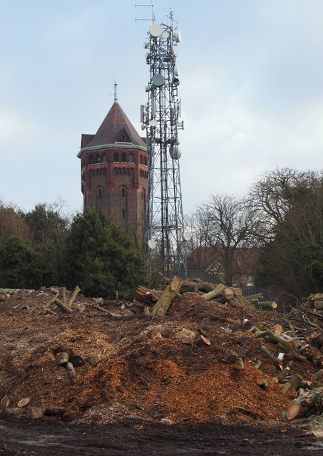
Image: © David Hallam-Jones Taken: 3 Apr 2013
The early 20th century octagonal water tower at the junction of Cleanthus Road & Shooter's Hill (the A207), and the transmitter located opposite it, seen from across a Council Environmental Services Depot and wood tip off Crown Woods Lane. Crown Woods Lane is a cul-de-sac that connects Shooter's Hill with Oxleas Meadow and Woodlands - a 77 hectares "Site of Special Scientific Interest" - via nearby Kenilworth Gardens.
Images are licensed for reuse under creativecommons.org/licenses/by-sa/2.0
Image Location
Latitude
51.468144
Longitude
0.06772