Dacre: approaching site of former station, 1995
Introduction
The photograph on this page of Dacre: approaching site of former station, 1995 by Ben Brooksbank as part of the Geograph project.
The Geograph project started in 2005 with the aim of publishing, organising and preserving representative images for every square kilometre of Great Britain, Ireland and the Isle of Man.

There are currently over 7.5m images from over 14,400 individuals and you can help contribute to the project by visiting https://www.geograph.org.uk
Dacre: approaching site of former station, 1995
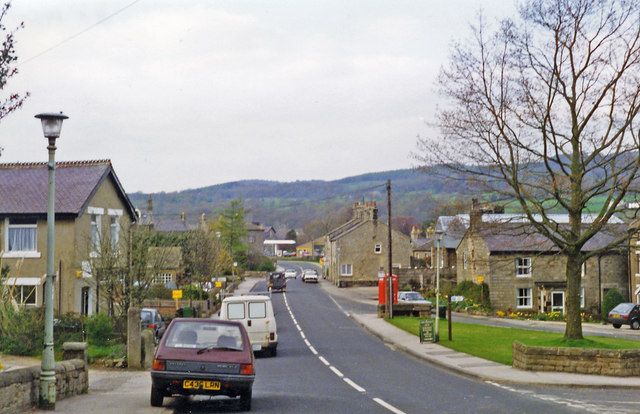
Image: © Ben Brooksbank Taken: 28 Apr 1995
View NNE, towards Summerbridge on B6451. The station had been near the bend ahead, beyond the entrance to the goods yard nearer on the left. It was on the ex-NER Harrogate - Pateley Bridge branch, which was closed to passengers 7/4/51, to goods 31/10/64. (See Image]).
Images are licensed for reuse under creativecommons.org/licenses/by-sa/2.0
Image Location
Latitude
54.051077
Longitude
-1.703956