Building site on Lower Priest Lane, Pershore
Introduction
The photograph on this page of Building site on Lower Priest Lane, Pershore by Philip Halling as part of the Geograph project.
The Geograph project started in 2005 with the aim of publishing, organising and preserving representative images for every square kilometre of Great Britain, Ireland and the Isle of Man.

There are currently over 7.5m images from over 14,400 individuals and you can help contribute to the project by visiting https://www.geograph.org.uk
Building site on Lower Priest Lane, Pershore
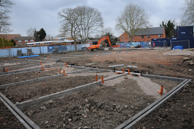
Image: © Philip Halling Taken: 30 Mar 2013
This site on Lower Priest Lane has been cleared and is undergoing redevelopment, unfortunately I didn't photograph this site before demolition, I am not sure if it was residential or possibly a medical surgery before.
Images are licensed for reuse under creativecommons.org/licenses/by-sa/2.0
Image Location
Latitude
52.11131
Longitude
-2.077347