Blakiston Close
Introduction
The photograph on this page of Blakiston Close by Simon Carey as part of the Geograph project.
The Geograph project started in 2005 with the aim of publishing, organising and preserving representative images for every square kilometre of Great Britain, Ireland and the Isle of Man.

There are currently over 7.5m images from over 14,400 individuals and you can help contribute to the project by visiting https://www.geograph.org.uk
Blakiston Close
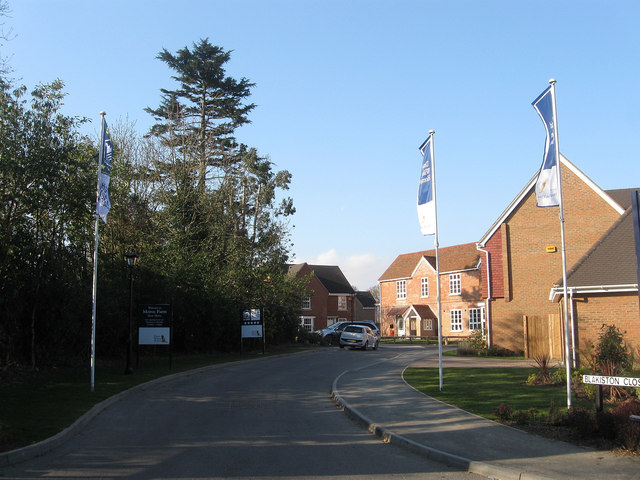
Image: © Simon Carey Taken: 2 Apr 2013
A recently built close off Rectory Lane constructed on the grounds of what was Meiros Farm which itself was once the rectory for Ashington. The former Victorian farmhouse has been converted into a new home as part of the development.
Images are licensed for reuse under creativecommons.org/licenses/by-sa/2.0
Image Location
Latitude
50.936117
Longitude
-0.396188