London Road
Introduction
The photograph on this page of London Road by Simon Carey as part of the Geograph project.
The Geograph project started in 2005 with the aim of publishing, organising and preserving representative images for every square kilometre of Great Britain, Ireland and the Isle of Man.

There are currently over 7.5m images from over 14,400 individuals and you can help contribute to the project by visiting https://www.geograph.org.uk
London Road
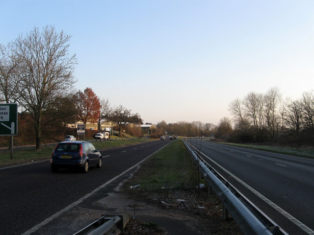
Image: © Simon Carey Taken: 2 Apr 2013
This section of the A24 was made a dual carriageway in the 1960s obliterating Spring Cottages in the process. To the left is Wiston Business Park which can be accessed by the old course of the road.
Images are licensed for reuse under creativecommons.org/licenses/by-sa/2.0
Image Location
Latitude
50.920538
Longitude
-0.401277