Castle Mill Stream, Oxford
Introduction
The photograph on this page of Castle Mill Stream, Oxford by Jaggery as part of the Geograph project.
The Geograph project started in 2005 with the aim of publishing, organising and preserving representative images for every square kilometre of Great Britain, Ireland and the Isle of Man.

There are currently over 7.5m images from over 14,400 individuals and you can help contribute to the project by visiting https://www.geograph.org.uk
Castle Mill Stream, Oxford
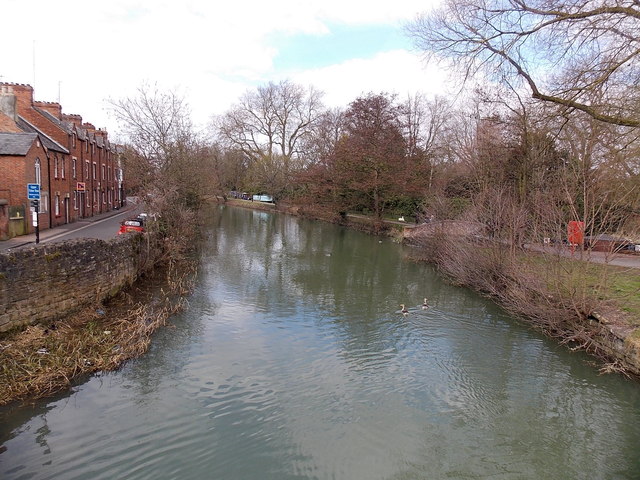
Image: © Jaggery Taken: 31 Mar 2013
Viewed from Hythe Bridge. Castle Mill Stream is a backwater of the River Thames. Upper Fisher Row http://www.geograph.org.uk/photo/3392019 is on the left.
Images are licensed for reuse under creativecommons.org/licenses/by-sa/2.0
Image Location
Latitude
51.753997
Longitude
-1.265756