The Royal Crescent, Holland Park
Introduction
The photograph on this page of The Royal Crescent, Holland Park by Richard Rogerson as part of the Geograph project.
The Geograph project started in 2005 with the aim of publishing, organising and preserving representative images for every square kilometre of Great Britain, Ireland and the Isle of Man.

There are currently over 7.5m images from over 14,400 individuals and you can help contribute to the project by visiting https://www.geograph.org.uk
The Royal Crescent, Holland Park
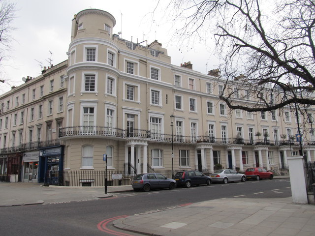
Image: © Richard Rogerson Taken: 4 Apr 2013
Picture shows one end of the crescent at junction with Holland Park Avenue. The Royal Crescent was laid out by Robert Cantwell in 1846 and is based on the more famous Royal Crescent in Bath.
Images are licensed for reuse under creativecommons.org/licenses/by-sa/2.0
Image Location
Latitude
51.504987
Longitude
-0.215346