M4 motorway bridge, Pen-y-fai
Introduction
The photograph on this page of M4 motorway bridge, Pen-y-fai by Jaggery as part of the Geograph project.
The Geograph project started in 2005 with the aim of publishing, organising and preserving representative images for every square kilometre of Great Britain, Ireland and the Isle of Man.

There are currently over 7.5m images from over 14,400 individuals and you can help contribute to the project by visiting https://www.geograph.org.uk
M4 motorway bridge, Pen-y-fai
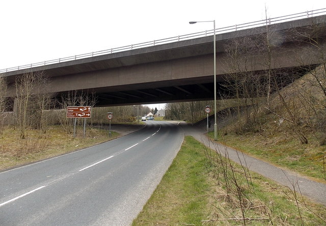
Image: © Jaggery Taken: 27 Mar 2013
The M4 crosses over the A4063 at the northern edge of the village of Pen-y-fai in the county borough of Bridgend.
Images are licensed for reuse under creativecommons.org/licenses/by-sa/2.0
Image Location
Latitude
51.53338
Longitude
-3.592033