The road to Aberkenfig (South)
Introduction
The photograph on this page of The road to Aberkenfig (South) by Jaggery as part of the Geograph project.
The Geograph project started in 2005 with the aim of publishing, organising and preserving representative images for every square kilometre of Great Britain, Ireland and the Isle of Man.

There are currently over 7.5m images from over 14,400 individuals and you can help contribute to the project by visiting https://www.geograph.org.uk
The road to Aberkenfig (South)
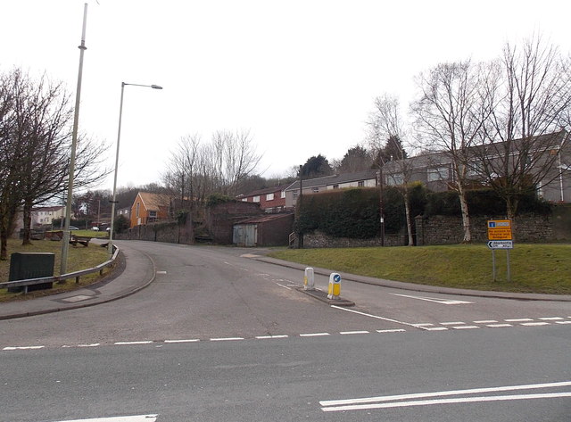
Image: © Jaggery Taken: 27 Mar 2013
Viewed across the B4281. Most of Aberkenfig is on the north side of the B4281. This road heads into the southern part of the village. Though this is Bridgend Road, there is no longer a through route ahead for motor vehicles. The roadway is blocked off about 450 metres ahead. http://www.geograph.org.uk/photo/3395253
Images are licensed for reuse under creativecommons.org/licenses/by-sa/2.0
Image Location
Latitude
51.538093
Longitude
-3.595946