Helensburgh Cemetery
Introduction
The photograph on this page of Helensburgh Cemetery by Lairich Rig as part of the Geograph project.
The Geograph project started in 2005 with the aim of publishing, organising and preserving representative images for every square kilometre of Great Britain, Ireland and the Isle of Man.

There are currently over 7.5m images from over 14,400 individuals and you can help contribute to the project by visiting https://www.geograph.org.uk
Helensburgh Cemetery
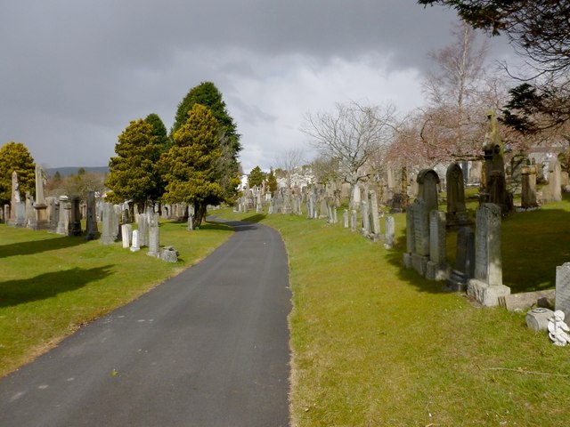
Image: © Lairich Rig Taken: 27 Mar 2013
This is a general view of the cemetery. The picture was taken from near the eastern boundary wall. Click on the end-note title for other views, including a selection of memorials that caught my attention (these include the five that are singled out for description in the listed building report, to which a link is given in the end-note).
Images are licensed for reuse under creativecommons.org/licenses/by-sa/2.0
Image Location
Latitude
56.001422
Longitude
-4.71235