A689 entering Wolsingham from the east
Introduction
The photograph on this page of A689 entering Wolsingham from the east by Trevor Littlewood as part of the Geograph project.
The Geograph project started in 2005 with the aim of publishing, organising and preserving representative images for every square kilometre of Great Britain, Ireland and the Isle of Man.

There are currently over 7.5m images from over 14,400 individuals and you can help contribute to the project by visiting https://www.geograph.org.uk
A689 entering Wolsingham from the east
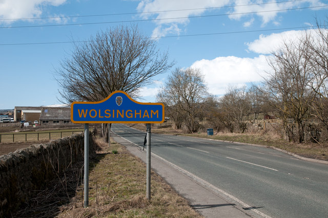
Image: © Trevor Littlewood Taken: 3 Apr 2013
The A689 is the main valley road in Weardale; here it enters the village of Wolsingham passing a blue and yellow road sign of the style introduced in County Durham some years ago.
Images are licensed for reuse under creativecommons.org/licenses/by-sa/2.0
Image Location


Leaflet Map data © OpenStreetMap
Latitude
54.729804
Longitude
-1.869067