Eastward on A625 at Tunstead Milton towards Chapel-en-le-Frith and the High Peak, 1966
Introduction
The photograph on this page of Eastward on A625 at Tunstead Milton towards Chapel-en-le-Frith and the High Peak, 1966 by Ben Brooksbank as part of the Geograph project.
The Geograph project started in 2005 with the aim of publishing, organising and preserving representative images for every square kilometre of Great Britain, Ireland and the Isle of Man.

There are currently over 7.5m images from over 14,400 individuals and you can help contribute to the project by visiting https://www.geograph.org.uk
Eastward on A625 at Tunstead Milton towards Chapel-en-le-Frith and the High Peak, 1966
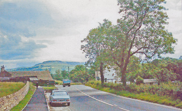
Image: © Ben Brooksbank Taken: 27 Jul 1966
The peak ahead is Bee Low (1,368 ft.). The road is now B5470.
Images are licensed for reuse under creativecommons.org/licenses/by-sa/2.0
Image Location
Latitude
53.31728
Longitude
-1.949825