Grand Union Canal: Daventry Reservoir Inflow
Introduction
The photograph on this page of Grand Union Canal: Daventry Reservoir Inflow by Nigel Cox as part of the Geograph project.
The Geograph project started in 2005 with the aim of publishing, organising and preserving representative images for every square kilometre of Great Britain, Ireland and the Isle of Man.

There are currently over 7.5m images from over 14,400 individuals and you can help contribute to the project by visiting https://www.geograph.org.uk
Grand Union Canal: Daventry Reservoir Inflow
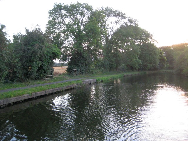
Image: © Nigel Cox Taken: 13 Sep 2012
This section of the Grand Union Canal is a summit reach with the Buckby Locks falling away to the east and the Braunston flight to the west. As such it needs a source of water which is provided by Daventry Reservoir to the south. This is the point at which water from the reservoir flows into the canal, with a slight disturbance visible on the surface at the inflow. The canal just clips across the northern boundary of this grid square.
Images are licensed for reuse under creativecommons.org/licenses/by-sa/2.0
Image Location
Latitude
52.279868
Longitude
-1.144818