In Upper Teesdale below Grasshill Common
Introduction
The photograph on this page of In Upper Teesdale below Grasshill Common by Ben Brooksbank as part of the Geograph project.
The Geograph project started in 2005 with the aim of publishing, organising and preserving representative images for every square kilometre of Great Britain, Ireland and the Isle of Man.

There are currently over 7.5m images from over 14,400 individuals and you can help contribute to the project by visiting https://www.geograph.org.uk
In Upper Teesdale below Grasshill Common
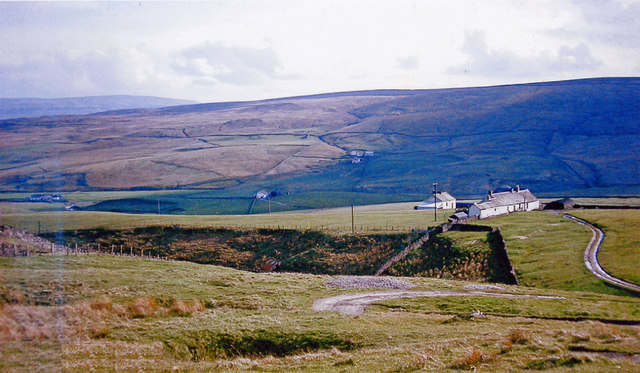
Image: © Ben Brooksbank Taken: 10 May 1965
View SSW from B6277 Alston - Middleton-in-Teesdale road, across to West Common (Herdship Fell, 2,070 ft.), with Lune Forest (Mickle Fell, 2,591 ft.) behind on left.
Images are licensed for reuse under creativecommons.org/licenses/by-sa/2.0
Image Location
Latitude
54.694411
Longitude
-2.280471