Gregson Lane
Introduction
The photograph on this page of Gregson Lane by philandju as part of the Geograph project.
The Geograph project started in 2005 with the aim of publishing, organising and preserving representative images for every square kilometre of Great Britain, Ireland and the Isle of Man.

There are currently over 7.5m images from over 14,400 individuals and you can help contribute to the project by visiting https://www.geograph.org.uk
Gregson Lane
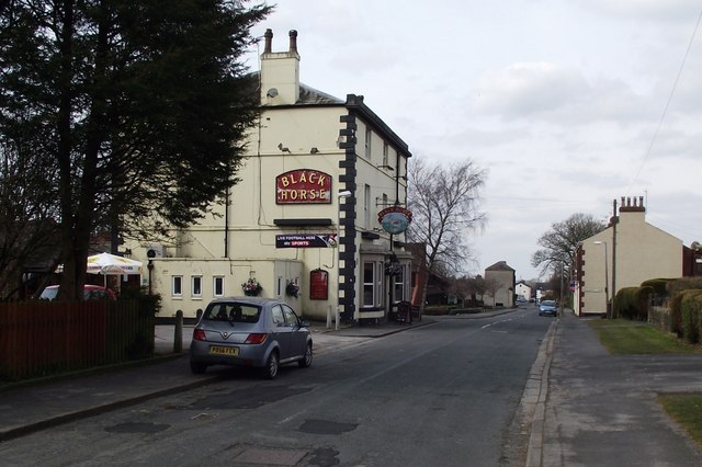
Image: © philandju Taken: 31 Mar 2013
Both the road and the village are called Gregson Lane. Taken at the boundary of Brindle and Hoghton civil parishes.
Images are licensed for reuse under creativecommons.org/licenses/by-sa/2.0
Image Location
Latitude
53.73267
Longitude
-2.61721